What Is GIS?
The GI stands for Geographic Information. The S can be either Science or System. You will often see them used interchangeably because they are very closely related. Basically, you do GIScience with a GISystem.
What is GIScience?
The science and study of geospatial information:
GIScience is a framework we use to understand spatial information.
- Rooted in Cartography, but it is inherently multidisciplinary
- Draws on Computer Science, Mathematics & Statistics, Remote Sensing, and many other fields.
What is a GISystem?
Any system or tool we use to store and analyze geospatial information can broadly be considered a GISystem.
- Until a the late 20th century, atlases and library map catalogues were our most advanced GIS.
- Now we have a wide range of computer and web based GISystems.
- Ranging from the “desktop” GIS applications like ArcGIS Pro that you will be using to cloud computing systems that can Terabytes of planetary scale data.
What is a GISystem?
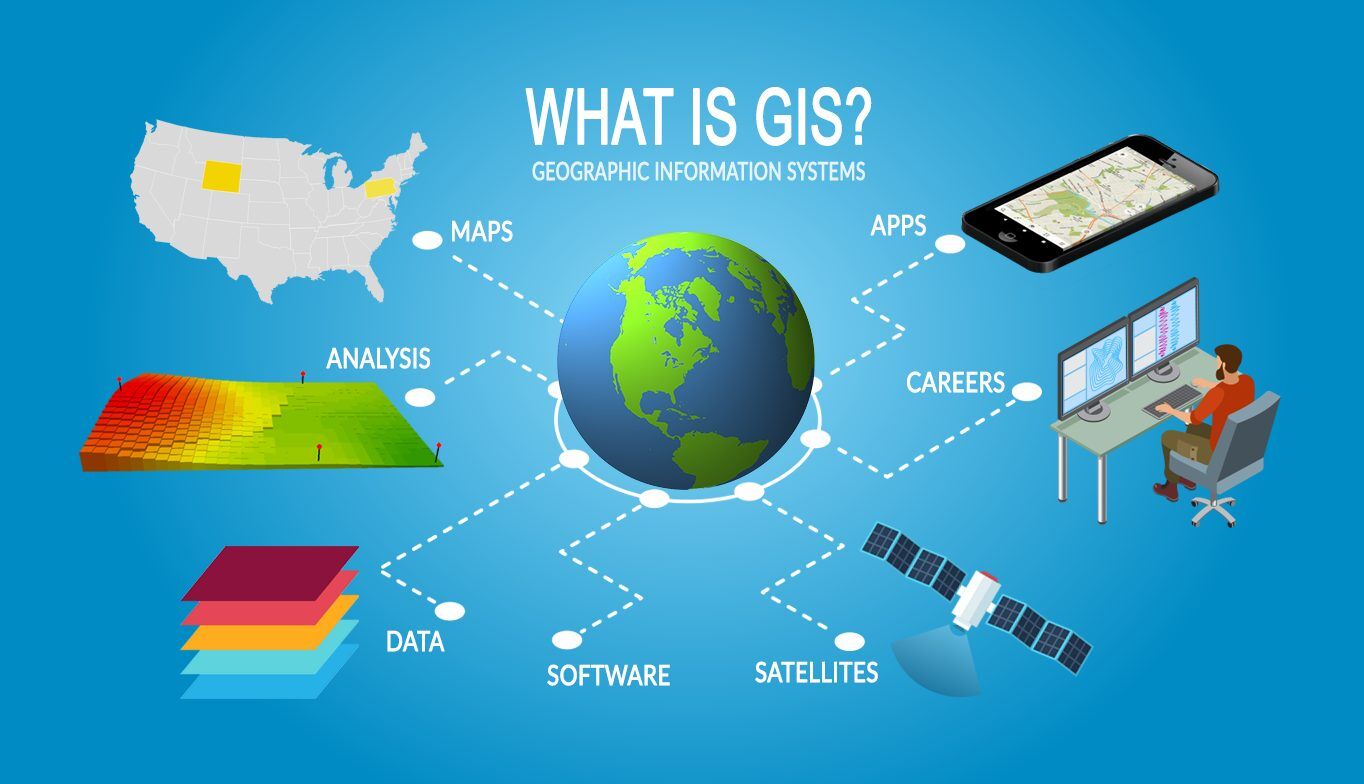
Credit - https://gisgeography.com/what-is-gis/
What can be done with GIS?
GIS can be used to help solve a wide range of geographic problems in different fields:
- Public Health (Epidemiology)
- Planning (Urban, Hazards)
- Resource Management
- Economics
- Ecology & Biology
- Climate Science
- Social Justice
- Conservation
TopHat Question 1
GIS is an acronym that stands for:
- Geographic Information Science
- Geographic Information System
- Both Geographic Information Science and Geographic Information System